
OceanView
Sea Surface Temperatures

GOES Floater Imagery – 30 minute updates
Atlantic Views GOES-East
Atlantic Wide View Infrared Image

Western Atlantic IR (color enhanced) Image

GOES-West
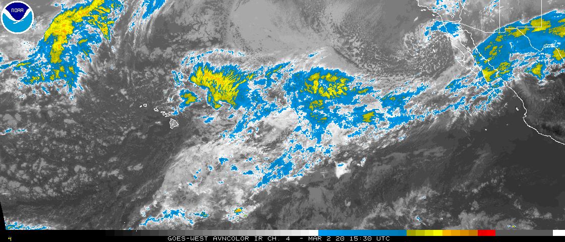
Pacific Wide View Infrared Image

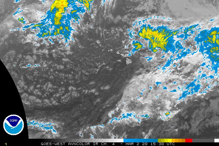
North East Pacific IR (color enhanced) Image

Above Images: NOAA National Hurricane Center
GOES satellite images: GOES 12 infrared image

Atlantic Tropical Cyclone Activity

See also Weather for more images.
GOES East – Eastern U.S. Imagery

An aviation color enhancement of a satellite image. GEOS Eastern U.S. Imagery, NOAA SSD.
[Updated every 30 minutes.]
GOES West – West U.S. Coast Imagery
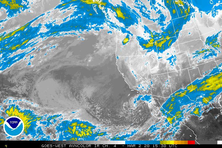
An aviation color enhancement of a satellite image. GEOS West West U.S. Coast Imagery, NOAA SSD.
[Updated every 30 – 60 minutes.]
Other Images
[To view full size image, right-click on the target image and choose View Image ]

MTSAT Tropical Imagery: West Pacific – Wide View
MTSAT Tropical Imagery: East & Central Pacific – Wide View

GOES Northeast Pacific Imagery
GOES West – Central Pacific Imagery

MTSAT Northwest Pacific Imagery

GOES Eastern East Pacific Imagery
GOES East Full Disk Pictures

GOES East Full Disk – images are updated every three (3) hours.

GOES West Full Disk – images are updated every three (3) hours.

From the Indian Ocean Date Coverage (IODC) – Images are updated every six (6) hours

MTSAT – Fulldisk Global Images (Images are updated every hour)

METEOSAT- Fulldisk Global Satellite Images (Images are updated every six (6) hours)
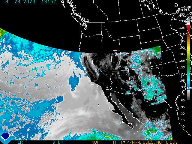
Western Conus Sector (Infrared Channel) – National Oceanic and Atmospheric Administration (NOAA)
[For IR data, the highest pixel values correspond to the coldest temperatures.]

Tropical Storm EDOUARD forms in the Gulf of Mexico « Fire Earth said
[…] OceanView […]
Tropical Storm Cristobal Treks Northeast « Fire Earth said
[…] OceanView […]
HURRICANE FAUSTO « Fire Earth said
[…] OceanView […]