- CJ
- OCT
- TML
FIRE-EARTH Presentation: Cardiac Arrest – 060702
Prepared and presented by FIRE-EARTH and affiliated scientists.
- Details are available via FIRE-EARTH PULSARS.
.
.
.
.
.
.

| Sci-rep on 2. Bulletin Board | |
| Jill R on Haiti Earthquake Disaster | |
| JN on FIRE-EARTH Broadcasts Availabl… | |
| CB on Earth Dwellers Incapable of Ev… | |
| Caroline W. on Earth Dwellers Incapable of Ev… | |
| thabiso on 10 million pieces of trash plu… | |
| DT on Earth Dwellers Incapable of Ev… | |
| JC on 2. Bulletin Board | |
| edmundironside on 2. Bulletin Board | |
| feww on FIRE-EARTH Broadcasts Availabl… | |
| thisislindablog on FIRE-EARTH Broadcasts Availabl… | |
| CD on 2. Bulletin Board | |
| DM on Earthquakes | |
| CMC on 2. Bulletin Board | |
| Val on 2. Bulletin Board |
Posted by feww on June 7, 2018
Prepared and presented by FIRE-EARTH and affiliated scientists.
.
.
.
.
.
.
Posted in News Alert | Tagged: 060702, cardiac arrest, FIRE-EARTH Presentation, Sudden Death of Fattest | Leave a Comment »
Posted by feww on June 7, 2018
Kilauea – 2018-06-07 02:38:17 UTC
Explosive eruption at Kīlauea summit, equivalent to energy release of M5.6 (preliminary), occurred at 4:07 PM HST. Ash plume reached 10,000 ft above sea level. Downwind communities may experience ashfall. [USGS-HVO]
Ros T. – 060702
M 5.4
19.413°N 155.280°W [6km SW of Volcano, Hawaii]
0.6 km depth
2018-06-07 02:06:38 UTC
This earthquake was associated with an ash explosion that occurred around 4:06 PM Tuesday, June 6th local time from Halema’uma’u crater. The plume extended to about 10,000 ft above sea level and drifted southwest with possible ashfall at downwind locations. USGS
Nearby Places
Direction data (below) indicate the position of the event relative to the place.
Hawaii Island 30 Days, Magnitude 2.5+ earthquakes: 1,726
[USGS]
Diagnostics and Forecasts available via FIRE-EARTH Pulsars.
Webcam Notes
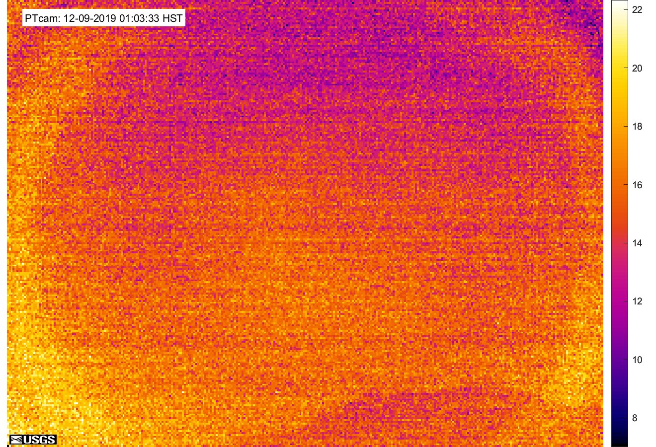
This image is from a temporary thermal camera positioned on the northwest flank of Puʻu ʻŌʻō, looking southeast at Puʻu ʻŌʻō’s summit crater. The temperature scale is in degrees Celsius up to a maximum of 500 degrees (932 degrees Fahrenheit) for this camera model, and scales automatically based on the maximum and minimum temperatures within the frame. Thick fume, image pixel size and other factors often result in image temperatures being lower than actual surface temperatures. [Source: USGS-HVO]
Posted in News Alert | Tagged: Halemaumau crater, Hawaii, Kīlauea, LERZ, Volcanic Earthquakes, volcano, volcano alert, volcano Webcam | Leave a Comment »
