Fire Earth

Earth is fighting to stay alive. Mass dieoffs, triggered by anthropogenic assault and fallout of planetary defense systems offsetting the impact, could begin anytime!

Archive for April 13th, 2010

Planes refusing to fly!

Posted by feww on April 13, 2010

Image of the Day:

This Plane Won’t Fly Anywhere Anytime Soon!


Indonesian soldiers and police examine a Merpati airline Boeing 737 plane after it skidded off the runway on landing in Indonesia’s West Papua city of Manokwari. The jet carrying more than 100 passengers skidded off into a shallow river at Rendani domestic airport, injuring some 20 people, according to officials. (Xinhua/AFP Photo). Image may be subject to copyright. Full Story

This Planes Wheel Broke Off on Landing Hurting 7 People


Ground crew and policemen work at the plane at the Hong Kong International Airport in Hong Kong, south China, on April 13, 2010. Seven passengers were injured on a Cathay Pacific plane from Indonesia at the Hong Kong International Airport Tuesday afternoon,  after the wheel broke off during an emergency landing, according to local authorities. (Xinhua/Chen Duo). Image may be subject to copyright.  Full Story

Related Links:

Serial No 1,569. Starting April 2010, each entry on this blog has a unique serial number. If any of the numbers are missing, it may mean that the corresponding entry has been blocked by the authorities/Google in your country. Please drop us a line if you detect any anomaly/missing number(s).

Posted in airbus, airlines, Cathay Pacific, Hong Kong | Tagged: , , , , | 1 Comment »

Shell Immunized against Drilling-Transmitted Diseases

Posted by feww on April 13, 2010

Shell Granted Key Alaska Drilling License

Oil giant Shell receives federal air-quality license for Alaska Beaufort Sea drilling

EPA has granted Royal Dutch Shell Plc a federal air-quality permit that allows the giant oil company to carry out exploratory drilling in Alaska’s Beaufort Sea.


A week after U.S. District Court Judge Ralph Beistline declared that “the balance of hardships” is in favor of the BP and Shell, “who have invested significant time [never mind nature’s 4.55 billion year investment] and expense in preparing for the scheduled activities,” and dismissed lawsuit against exploration permits granted by the National Marine Fisheries Service and the MMS, two environmental groups filed a lawsuit on July 8,2008 against new federal regulations that grants permission to oil companies to disturb/destroy the polar bears and walrus in the Chukchi Sea. [Image: NOAA]

The permit, more like a vaccine for “Drilling-Transmitted Diseases,”  immunizes Shell against any and all of the air pollutants emitted from their drill vessel and dozens of  support ships that the company will be employing to drill two exploratory wells about 26 to 35km (16 to 22 miles)  off  Alaska’s northern coast.

“The Beaufort Sea permit—which Shell has been seeking for nearly four years—was granted a week after the EPA issued a similar permit for the company’s planned drilling operations this year in the Chukchi Sea off Alaska’s northwestern cost.” A report said.

The terms of permit stipulates that Shell shall  use “technological advances,” “ultra-low-sulfur diesel fuel” and practice “other protective measures,” EPA officials were quoted as saying. [Wear a condom on their drill bits?]

“This permit ensures that exploration and drilling will occur in a way that protects air quality,” Rick Albright, director of the air, waste and toxics issues for EPA’s Seattle regional office, said in a statement.

The conditions of permit, of course,  pays lip service to environmental protection; they won’t and can’t prevent accidental oil spills, which have now become daily occurrences throughout the planet.

“The Beaufort permit is an important milestone, a Shell spokesman in Anchorage said, after the company spent $84 million on its Beaufort Sea leases and intends to drill prospects there called Sivulliq and Torpedo that are known to contain hydrocarbons.” The report stressed.

“The issuance of our final Beaufort Sea air permit means we can continue to advance our exploration program with the ultimate goal of drilling in the Chukchi and Beaufort Seas in 2010,” Shell spokesman Curtis Smith said.

The permit is reportedly issued subject to a public-review period and could be appealed by environmental concerns.

“Shell is seeking to use a single drill ship and a fleet of icebreakers, oil-spill-response ships and other support vessels to explore the Chukchi and Beaufort prospects. Drilling is planned for the summer and fall, times when sea ice is absent. The company plans to drill up to three wells about 75 miles offshore in the Chukchi, where it spent $2.1 billion in 2008 to acquire leases, and two wells in the Beaufort.” The report said

“Environmentalists and the native Inupiat Eskimo people of the region expressed concerns, as the permit was being drafted by the EPA, about carbon-dioxide emissions into a region already strongly affected by climate change, and the potential impact of pollutants on people who hunt and fish in the region for traditional foods.” The report added.

Although Shell requires other permits before  it can proceed with the vile acts of drilling at either of the two sites, those permits are considered to be much easier to obtain than the air-quality permits, that the company has been granted.

The Riddle of Big Oil and Energy Consumption:

  1. Humans prosper at a much lower rate of energy consumption.
  2. The ecosystems, what is left of them, function well  in the absence of fossil fuel pollution (pollution created by mining/drilling, transport and consumption of the fuels).
  3. More mining and drilling creates more pollution.
  4. The only prosperity associated with selling more fossil fuels is the sellers monetary gains.
  5. The big oil companies are owned by a tiny fraction of the world population.
  6. Why do the overwhelming majority of world population allow a tiny minority destroy the planet for monetary gains?

Can YOU can solve this riddle??

Related Links:

Serial No 1,568. Starting April 2010, each entry on this blog has a unique serial number. If any of the numbers are missing, it may mean that the corresponding entry has been blocked by the authorities/Google in your country. Please drop us a line if you detect any anomaly/missing number(s).

Posted in Beaufort Sea drilling, Chukchi Sea, EPA, federal air-quality license, oil and gas drilling | Tagged: , , , , , | 2 Comments »

Deadly Tsunami in Andes Lake, Peru

Posted by feww on April 13, 2010

Tsunami in Mountain Lake

Massive glacier breaks off in Peru plunging into a lake, causing a 23-meter (75-foot) tsunami, Killing 3

A massive glacier broke off in the Andes creating a huge tsunami wave in a lake, sweeping away at least three people and destroying a water filtration plant that served 60,000 people, government officials said, Reuters reported.


A Lake Pehoé view of Torres del Paine, Chile. Credit: Miguel.v

A massive chunk of ice measuring about 500m by 200m (1,640 feet by 656 feet) broke off from Hualcan glacier tumbling down into a lake in the Andes mountain range near the town of Carhuaz, about 320km (200 miles) north of the capital, Lima. At least three people were buried in debris, Reuters reported the officials as saying.

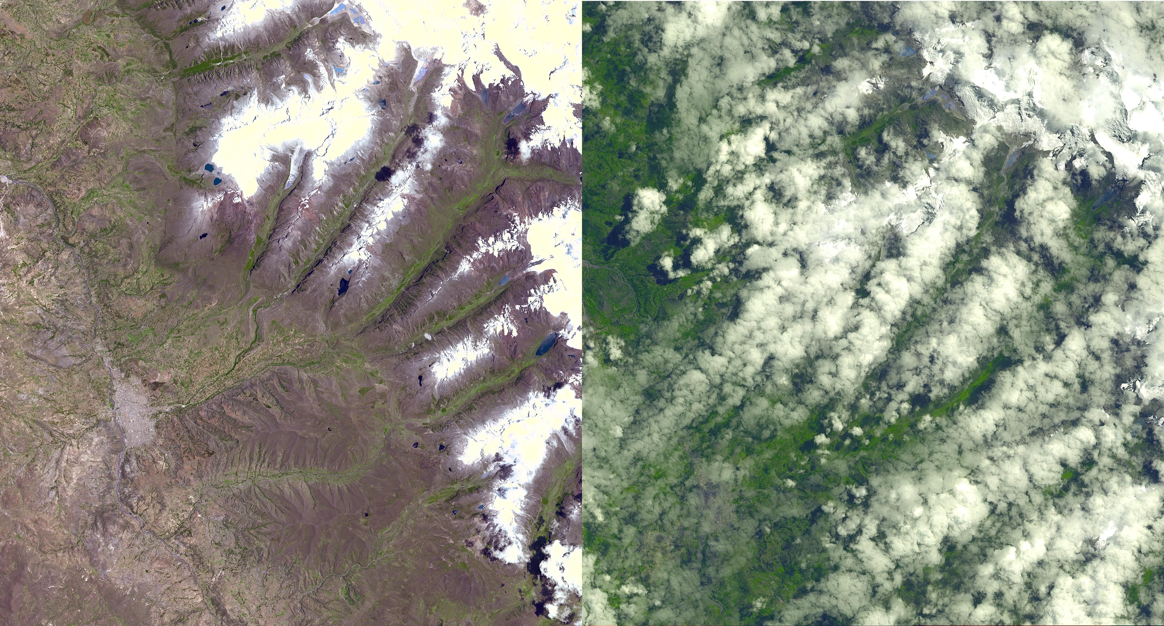
Carhuaz city is located about 35 km from Huaraz, the capital city of a province with the same name, and one of twenty provinces of the Ancash Region in Peru.

“This slide into the lake generated a tsunami wave, which breached the lake’s levees, which are 23 meters high—meaning the wave was 23 meters high,” said Patricio Vaderrama, an expert on glaciers at Peru’s Institute of Mine Engineers.

The incident prompted the officials to evacuate the nearby mountain valleys in case more breakages were to follow, the report said.

“It was one of the most concrete signs yet that glaciers are disappearing in Peru, home to 70 percent of the world’s tropical icefields. Scientists say warmer temperatures will cause them to melt away altogether within 20 years.” The report said.

“In 1970, not far from Carhuaz, an earthquake triggered an avalanche of ice, rock and mud on the mountain of Huascaran that buried the town of Yungay, killing more than 20,000 people who lived below Peru’s tallest peak, which sits 22,204 feet [6,768m] above sea level.”

In the last 3 decades or so Peru’s glaciers have shrunk by 22 per cent, causing  12 per cent reduction the amount of fresh water that reaches the coast, where most of the Peruvians live, according to a report published by World Bank last year.


Glacial Lake Palcacocha, Cordillera Blanca, Peru. This lake generated a deadly glacial lake outburst flood in 1941 that destroyed part of the city of Huaraz and killed 5,000 people. Note the two security dams in the foreground of the photograph. Given that millions of people in mountain ranges worldwide live in valleys below glaciers, there is a risk of glacier disasters in many countries. Glacier hazards have become more acute with recent global climate change and as populations in glacier watersheds increase.Photo by Mark Carey (2003). Source.

Fire-Earth Moderators believe the glacier breakage may have been hastened by a 5.4Mw earthquake which occurred about 106km SSW of Carhauz, Peru, on March 28, and possibly the more recent seismic activity in northern Peru.


EMSC Map of Earthquake Location, Peru, with the approximate position of Hualcan glacier marked by Fire-Earth. Click image to enlarge.

Summary of Earthquake Details:

  • Magnitude: 5.4Mw
  • Region: NEAR COAST OF CENTRAL PERU
  • Date and time 2010-03-28 at 01:08:25.3 UTC
  • Location: 10.17ºS ; 78.13ºW
  • Depth: 67 km
  • Distances:
    • 133 km SE Chimbote (pop 316,966 ; local time 20:08 2010-03-27)
    • 12 km S Huarmey (pop 16,172 ; local time 20:08 2010-03-27)
  • Source:  European-Mediterranean Seismological Centre

Related Events


Original Caption Released with Image [edited for brevity.]
A chunk of glacier was threatening to fall into an Andean lake and cause major flooding in a Peruvian city of 60,000. A fissure has appeared in the glacier that feds Lake Palcacocha near the city of Huaraz, 270 km north of Lima. If the piece breaks off, ensuing floods would take 15 minutes to reach the city. In 1941, the lake overflowed and caused massive destruction, killing 7,000 people. The city can be seen in the lower left part of the two images, acquired
[November 5, 2001 and April 8, 2003.] Lake Palcacocha is in the upper right corner of the image at the head of a valley, below the snow and glacier cap. The inset image shows an enlargement of the lake and the glacier occupying the cirque valley above it. The images are being provided to the Peruvian authorities and geologists to help them assess the state of the glacier, and compare the recent image with historic data.

These images were acquired on November 5, 2001 and April 8, 2003 by the Advanced Spaceborne Thermal Emission and Reflection Radiometer (ASTER) on NASA’s Terra satellite. Image source: NASA/GSFC/METI/ERSDAC/JAROS, and U.S./Japan ASTER Science Team

High Res Image: Click Here

Latest Update: 4 people are missing and more than 50 were injured as a result of the tsunami wave.

Related Links:

Serial No 1,567. Starting April 2010, each entry on this blog has a unique serial number. If any of the numbers are missing, it may mean that the corresponding entry has been blocked by the authorities/Google in your country. Please drop us a line if you detect any anomaly/missing number(s).

Posted in Andes lake, Andes lake tsunami, Carhuaz, Peru tsunami | Tagged: , , , , , , , , | 5 Comments »