Another storm is expected to hit Southern California today
More rain would spell more mudslides and misery for the hill side communities in California. The new system is likely to move in Tuesday with a 40% chance of showers starting Tuesday afternoon, lasting into Wednesday, the National Weather Service (NWS) said.
The storm is expected to be less severe than the ones that buffeted the area on Friday and Saturday, triggering mudslides which caused much destruction in the foothills communities of the San Gabriel Mountains.
Forecasters say the coastal and valley areas should expect about 1.5cm (1/2 inch) of rain, with up to 4cm (1 1/2 inches) in the mountains areas Tuesday through Wednesday.
So far about 31cm (12 inches) of rain has fallen in downtown Los Angeles, compared with a norm of 21cm (8 inches) during this time of year, NWS said.
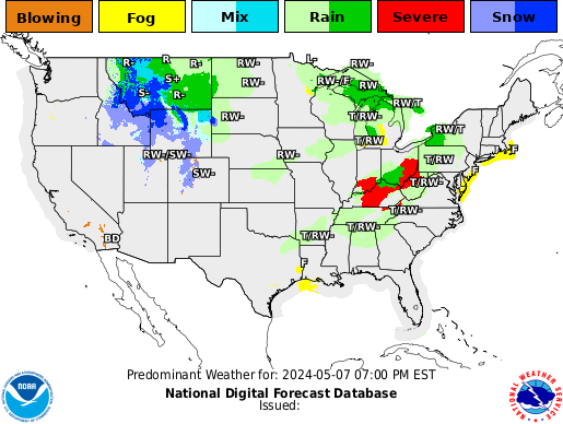
Weather Forecast (Click Images to enlarge and update)

Winter Weather Advisory

As of posting, a winter storm warning is in effect for the following counties
- In Oklahoma: Adair, Sequoyah and Le Flore.
- In Arkansas: Benton, Sebastian, Washington, Carroll, Madison, Crawford and Franklin.
Winter storm will continue to impact much of the mid south tonight.
Snow will continue mainly north of a Wynne Arkansas to Lexington, Tennessee line tonight. A mixture of snow, sleet, and rain will continue along interstate 40 from Forrest City Arkansas to the Memphis metropolitan area to Jackson and Decaturville, Tennessee. Rain will occur across north Mississippi.
Current NWS Weather Hazard Warnings (U.S.)

Click image to enter NWS portal


GOES IR Satellite image of N America. Click to enlarge and update.
Related Links: