Severe Thunderstorms Brewing
Posted by feww on April 19, 2011
US Weather Update
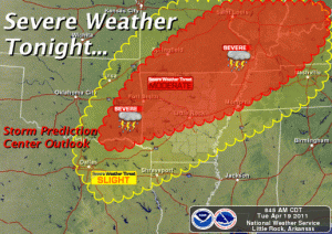
Severe thunderstorms forecast for parts of the Ozarks, the lower and middle Mississippi Valleys, and the lower Ohio Valley later today through tonight: NWS
Tornadoes, damaging winds and large hail developing in the Ozarks will move into parts of Mississippi and lower Ohio Valleys later today through tonight: NWS Storm Prediction Center forecasts
Most likely target areas:
- Northern And Western Arkansas
- Central And Southern Illinois
- Central And Southern Indiana
- Western And Northern Kentucky
- Southern And Eastern Missouri
- Western Ohio
- Eastern Oklahoma
- Northwest Tennessee
Severe Weather Forecast Map

Click image to enlarge. Click HERE to update

See earlier entry at
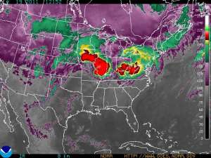
GOES Eastern US SECTOR Infrared Image
Image of the Day: The Angry Storm Face

Click image to enlarge. Click HERE to update

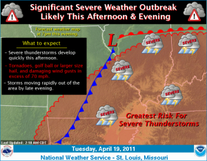
‘Severe thunderstorms are expected to rapidly develop over Missouri and Illinois this afternoon and spread quickly east this evening. The strongest storms will be capable of producing tornadoes, golf ball or larger size hail, and damaging straight line wind gusts in excess of 70 mph. Locally heavy rainfall is also possible. The storms are expected to exit the region to the east by late evening.’ NWS said.

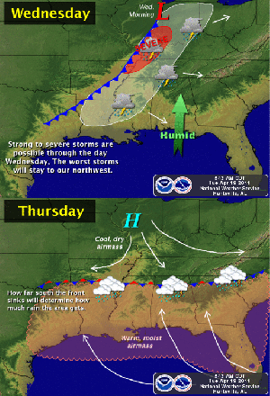
“A cold front will move into the area on Wednesday and bring a good chance for thunderstorms. Some of these storms could be strong to severe, but the better chance for more organized severe thunderstorms will be to the northwest of our area. The front will stall in our area on Thursday, with the possibility for showers and thunderstorms lingering through the period and perhaps into the weekend,” NWS said.
More information available at NWS …


Leave a comment